Öræfajökull — Iceland's Highest Peak & Hidden Volcano
Iceland's tallest mountain at 2,110 m is actually an active stratovolcano — responsible for Iceland's most deadly historical eruption in 1362
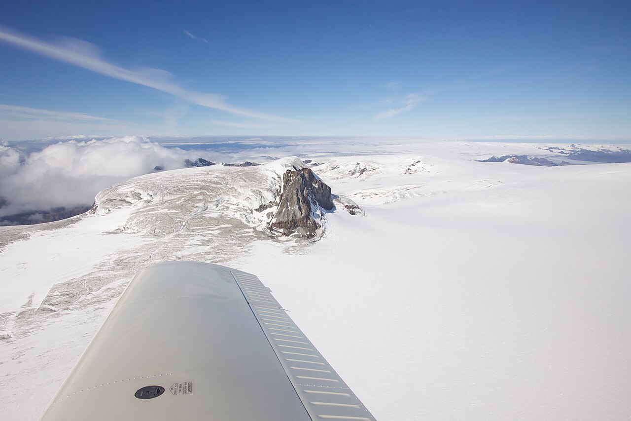
Öræfajökull is a stratovolcano forming the highest peak in Iceland (Hvannadalshnjúkur, 2,110 m). It is covered by a ~600 km² ice cap. Iceland's tallest mountain is actually an active volcano hidden beneath the southern edge of Vatnajökull glacier. Despite its serene appearance, it is responsible for some of Iceland's deadliest eruptions.
Physical Features
From the Ring Road, Öræfajökull appears as a massive wall of glacial ice. Most travelers never realize they are looking at one of Iceland's most dangerous volcanoes — a stratovolcano whose 1362 eruption was the most deadly in the country's history.
- Highest point: Hvannadalshnjúkur (2,110 m) — Iceland's highest peak
- Ice cap coverage: ~600 km²
- Stratovolcano structure with caldera
- Completely covered by glacier ice
- Part of Vatnajökull National Park
- Located in southeast Iceland at the edge of Vatnajökull
- Visible from Jökulsárlón
Deadly Eruption History
Öræfajökull has produced Iceland's most deadly eruptions. The 1362 eruption was so catastrophic it destroyed an entire district, earning the name 'Öræfi' (wasteland) that persists today.
- 1362: Catastrophic Plinian eruption — more than 300 people perished
- 1362: Entire Litla-Hérað district destroyed — created the 'wasteland' (Öræfi)
- 1362: Devastating jökulhlaups and massive glacial floods to the sea
- 1362: Ash fall reached across Europe
- 1727: Smaller eruption killed three people and caused extensive property damage
- Only 2 known historical eruptions — but both were catastrophic
Climbing Iceland's Highest Peak
Hvannadalshnjúkur summit offers the ultimate Iceland mountaineering challenge with 360° views of the entire country on clear days.
- Technical glacier climb — professional guide required
- 8–12 hours round trip
- Crampons and ropes essential
- June–August climbing season
- Start very early (3–4 AM)
- Crevasse danger and extreme weather exposure
- Navigation challenges in whiteout conditions
- Clear weather windows are rare
Skaftafell — An Oasis Below the Volcano
At the foot of Öræfajökull lies Skaftafell, a surprisingly lush area that has been a favorite destination for Icelanders for decades. The sheltered microclimate supports birch woodland and wildflowers, creating a green oasis beneath the ice.
Now part of Vatnajökull National Park, Skaftafell offers hiking trails to waterfalls, glacier viewpoints, and panoramic overlooks of the vast sandur plains shaped by the volcano's floods.
Current Monitoring & Status
Because the volcano is capped by thick ice, eruptions can trigger large floods. Modern monitoring shows no signs of imminent activity. However, the long repose since 1727 (nearly 300 years) means scientists continue to monitor for any changes.
Increased seismic activity was detected in 2017–2018 and the alert level was temporarily raised before returning to normal levels. Continuous seismic monitoring, GPS ground deformation tracking, gas emission measurements, and glacial flood detection systems remain in place.
- Increased seismic activity in 2017–2018 (alert level temporarily raised)
- Currently back to normal monitoring levels
- Evacuation plans for coastal areas in place
- Early warning systems and regular emergency drills
- International cooperation for ash monitoring
Safety Information
Summit climbing requires a certified guide, full mountaineering equipment, crampons, and ropes. Crevasse danger is significant. An eruption would cause catastrophic glacial floods — monitor vedur.is and safetravel.is for current status.